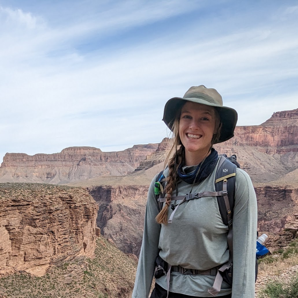
I am a graduate student at the University of New Mexico looking at the applications of SfM modeling in a musuem setting to train convolutional neural networks to identify wildlife.


Research Experience

Research Assistant

ASPIRE, Center for Native American Environmental Health Equity Research

Worked to detect small fires associated with trash burning using high resolution satellite imagery

August 2018 - August 2020

Research Assistant

NSF Complex Human-Environmental Systems Project

Developed and tested techniques for using drones equipped with thermal infrared sensors to detect and locate monkeys in a forested environment and adapted Structure from Motion (SfM) 3D modeling techniques to generate models from thermal infrared imagery.

August 2018 - August 2020

Marshall Plan Foundation Scholar

Designed and executed flight plans to test the viability of different methods of primate detection using unoccupied aerial vehicles equipped with thermal sensors

May 2019 - August 2019

Geography Alliance of Iowa (GAI)

Undergraduate Assistant

Reviewed articles from the National Geographic's Pristine Oceans Initiative

August 2017 - May 2018

GeoTree

Undergraduate Research Assistant

Worked on variable contract jobs which ranged from creating maps for publication to digitizing water bodies in Iowa using ArcMap

June 2017 - May 2018

University of Northern Iowa

Undergraduate Research Assistant

Provided real-time ground measurments for the 30m Russian RESURS-P Hyperspectral images

Fall 2017

Tutoring/Teaching Experience

The University of New Mexico

Graduate Teaching Assistant

GEOG 483/583L: Remote Sensing Fundamentals
GEOG 484L/584L: Applications of Remote Sensing

San Diego State University

Graduate Teaching Assistant

GEOG 104: Geography Information Science and Spatial Reasoning
GEOG 303: Severe Weather
GEOG 385: Spatial Data Analysis
GEOG 591: Remote Sensing of the Environment

University of Northern Iowa

Trio SSS Tutoring, Physical Geography

Education


Certificates
Geographic Information Systems (GIS) and Cartography
PADI Open Water Diver


Skills

Programming
SQL, Python, ArcPy, HTML, CSS, JavaScript, D3, Bootstrap, jQuery, R

Software Skills: GIScience
Agrisoft Metashape, Arc Catalog, ArcMap 10.3, ArcGIS Online, ArcGIS Pro, CloudCompare, eMotion 2, ENVI 5.4, ERDAS IMAGINE, Pathfinder Office, Pix4D

Software Skils: General
Adobe Illustrator, Adobe Photoshop, Adobe InDesign, Microsoft Office

Publications and Presentations

Publications
Mirka, B., Stow, D., Paulus, G., Loerch, A., Coulter, L., An, L., and Pfülger, L. (In Review) “Evaluation of Thermal Infrared Imaging from Uninhabited Aerial Vehicles for Arboreal Wildlife Surveillance”.

Presentations
Mirka, B., Stow, D., Paulus, G., Loerch, A., Coulter, L., An, L., and Pfülger, L. (2021, October) “Evaluation of Thermal Infrared Imaging from Uninhabited Aerial Vehicles for Arboreal Wildlife Surveillance" The Southwest Division of the American Association of Geographers (SWAAG) Graduate Poster Competition

Mirka, B (2018, April). Predicting the future habitat range of invasive lionfish, Pterois volitant using ecological niche modeling. Student presentation at the annual CSBS Student Research and Engagement Conference Cedar Falls, IA [Presented]

Interests

When I am not working I spend most of my free time outside. I love hiking, backpacking, rock climbing and will never say no to a road trip.
I am also passionate about photography, graphic design, and baking.


Awards & Certifications